HISTORY OF THE

Island of Mauritius

The known history of Mauritius begins with its discovery by Arabs and Malays, followed by Europeans and its appearance on maps in the early 16th century. Mauritius was successively colonized by the Netherlands, France and Great Britain, and became independent in 12 March 1968.


Geographic location

The Mascareignes Archipel is made up of Mauritius, Reunion island and Rodrigues. It obtained its name after the navigator Pedro Mascarenhas who was one of the first Europeans to indicate its existence at the beginning of the 16th century.

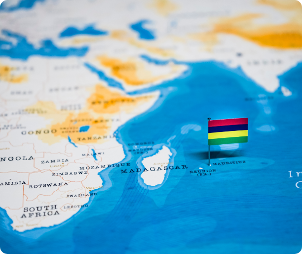
Mauritius is situated 890 km to the east of Madagascar, between 19°50' and 20°32' of South Latitude and 57°18' and 57°46' of East Longitude. Reunion, a French island, is 200 km south west from Mauritius and Rodrigues, an island forming part of the Mauritian territory, 600 km to the East North East from Mauritius.
Mauritius has an area of 1,860 Km2 and is made up of a central plateau gradually rising towards the south west where it reaches its highest point of 828 metres at Piton de la Rivière Noire. This plateau is still surrounded with what is remaining from the primary crater in the form of a chain of mountains (Moka, Corps de Garde, Pieter Both) and some isolated peaks (Piton du Milieu, Motte à Thérèse).

Read More

ACTIVITIES OVER THE ISLAND

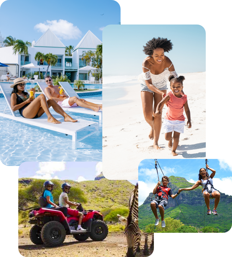
  • Horse Riding
  • Night life
  • Hiking & Trekking
  • Nature Parks
  • Sightseeing tours
  • Helicopter & Flight trips
  • Quad activities
  • Catamaran cruises & Speed boat trips
  • Small islands tours
  • Deep sea fishing
  • Underwater activities
  • Kitesurf
  • Massages & Spa
  • Sports
  • Yacht tours
  • Hotel Resorts
  • Villas
  • Golf

the Climate

Mauritius enjoys a mild tropical maritime climate throughout the year with a warm humid summer extending from November to April and a relatively cold dry winter from June to September.

Language

English is the official language.

French is extensively used and Creole is widely spoken. Asian languages also form part of the linguistic mosaic.